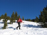
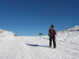
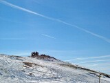
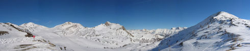
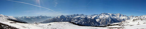
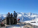
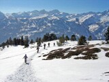
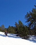
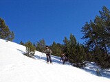
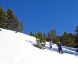
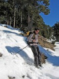
[Rando raquettes 05] Col du Granon
Nom de la rando | Col du Granon. |
Lieu | Briançonnais, Hautes-Alpes (05). Départ de Villard-Laté. |
Date | Le 5 février 2006. |
Durée (tout sauf la pause repas) | 4h30. |
Dénivelé | 920m. |
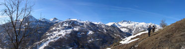
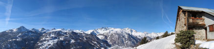
Beauté du site |
|
Difficulté |
|
Fréquentation |
|
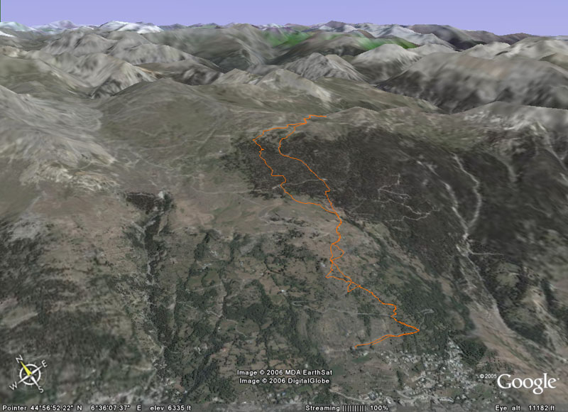
Google Earth | La rando au col du Granon vue dans Google Earth |


     | |||
 | |||
 |
 |
 |
 |
 | |||
 | |||
 | |||
 |
 |
 | |
 |
 |
 |
|